Log in
All resources
Create a design
352 Free Images of Old Maps Of The World
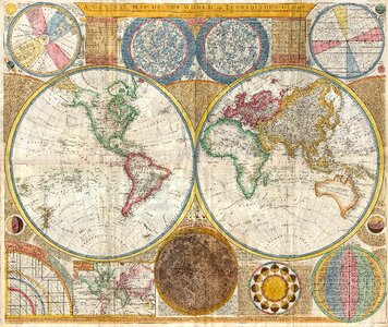
world map
vintage
antique
history
historical
vintage maps
poster
illustration
drawing
cartography
atlas ou representation du monde universel t. 2 (1633)
maps by hendrik hondius the younger
atlas ou representation du monde universel t. 2 (1633)
maps by hendrik hondius the younger
18th-century maps of morocco
1700s maps of algeria
illustration
maps
illustration
maps
illustration
maps
illustration
maps
illustration
maps
historical
history
maps of the mexican-american war
maps by joseph warren revere
maps of exeter by braun & hogenberg
floyer hayes, exeter
maps of exeter by braun & hogenberg
floyer hayes, exeter
maps by john cary
1801 maps
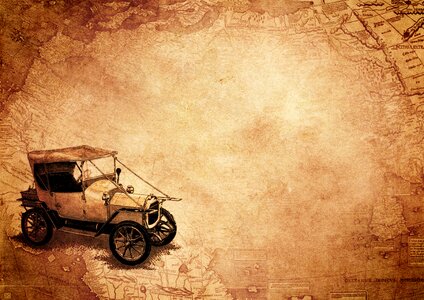
vehicle
maps
africa
maps
planet
earth
cartography and geographical illustrations of the wehrmacht
trondheim in the 1940s
atlas ou representation du monde universel t. 2 (1633)
old maps of mecklenburg
18th-century maps of antarctica
1741 maps
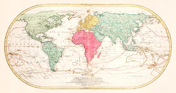
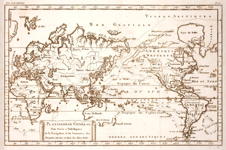
nicolas sanson. “mappe-monde, ou carte generale du monde.”
map of the bosphorus strait by guillaume sanson (1665)
nicolas sanson. “mappe-monde, ou carte generale du monde.”
1667 map of madagascar by guillaume sanson
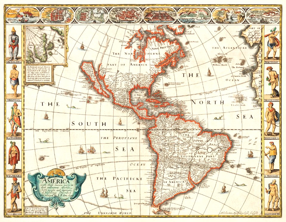
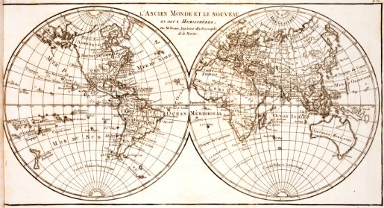
1650s maps of the americas
1658 maps
symbol
maps
maps by abraham ortelius
pieter van der keere
maps of paris from the david rumsey historical map collection
maps of paris by braun & hogenberg
history
project
world map
history
history
travel
maps of the captaincy general of cuba
maps of the history of florida
building
maps
historical
history
background
travel
claude auguste berey
henri liébaux
old maps of the viceroyalty of new spain
the spanish borderlands
background
icons
background
vehicle
john wolfe (printer)
renold elstracke
australia
maps
cartography
maps
western
maps
earth
maps
earth
maps
vintage
maps
illustration
maps
maps
wall
globe
maps
world map
maps
vintage
maps
australia
maps
world map
maps
australia
maps
illustration
maps
301 - 352 of 352
/ 4

![Gerardi Mercatoris and I. Hondii Atlas or Representation of the Universal World, and of the Parts of It, Made in Tables and Very Ample Descriptions. [t. 2].](https://cdn.creazilla.com/illustrations/10001497746/gerardi-mercatoris-and-i-hondii-atlas-or-representation-of-the-universal-world-and-of-the-parts-of-it-made-in-tables-and-very-ample-descriptions-t-2-sm.webp)
![Gerardi Mercatoris and I. Hondii Atlas or Representation of the Universal World, and of the Parts of It, Made in Tables and Very Ample Descriptions. [t. 2].](https://cdn.creazilla.com/illustrations/10000853185/gerardi-mercatoris-and-i-hondii-atlas-or-representation-of-the-universal-world-and-of-the-parts-of-it-made-in-tables-and-very-ample-descriptions-t-2-sm.webp)


![Gerardi Mercatoris and I. Hondii Atlas or Representation of the Universal World, and of the Parts of It, Made in Tables and Very Ample Descriptions. [t. 2].](https://cdn.creazilla.com/illustrations/10000490917/gerardi-mercatoris-and-i-hondii-atlas-or-representation-of-the-universal-world-and-of-the-parts-of-it-made-in-tables-and-very-ample-descriptions-t-2-sm.webp)


![Map of Thrace to aid in understanding Roman history / by Henri Liébaux, geographer; C[laude] A[uguste] De Berey, sculp[sit], Claude Auguste Berey, 1727](https://cdn.creazilla.com/illustrations/10001256073/map-of-thrace-to-aid-in-understanding-roman-history-by-henri-libaux-geographer-claude-auguste-de-berey-sculpsit-claude-auguste-berey-1727-md.jpg)